Pereira d’Eça
Another Day of LifePereira d’Eça is a remote town near the Namibian border where control of a single road determined whether an isolated MPLA unit could remain connected to Lubango. In the account of Rysiek’s journey there, the town is at once a vulnerable military outpost and a place where the distance between advertised comfort and wartime reality becomes unmistakable.
Borderland Setting
Pereira d’Eça lies forty kilometres from the border and, according to Diogenes, four hundred and fifty kilometres from Lubango. The two cities are in MPLA hands, but the surrounding countryside belongs to the enemy. The road through the bush is the only route between the town and Lubango; convoys attempting it have been lost in ambushes, and none has reached the unit at Pereira d’Eça for a month. The town’s isolation is therefore not simply a matter of distance: the road that connects it to support is also the route along which it can be attacked.
The scale of the surrounding region makes the garrison’s vulnerability clearer. Comandante Farrusco’s unit has 120 soldiers and is the only unit on a southern front extending 450 kilometres between Lubango and the border and 1,200 kilometres between the Atlantic and Zambia. The bush offers little water or orientation, while the road is the sole corridor through it. Retreat on foot would be too far, and the unit lacks enough transport to move everyone. Pereira d’Eça is effectively enclosed by a landscape in which the only way forward is also the exposed way back.
The Road and Arrival
Rysiek travels south with Diogenes and a small convoy in a dilapidated truck. Diogenes explains that the journey covers roughly four hundred kilometres of road where an ambush could occur at any point. The vehicles left behind by the Portuguese are not available to the unit: their owners have gone to Europe, and there is no money to buy the trucks. The convoy’s poor transport is not incidental; it leaves the travellers moving slowly through a route already known for destroying vehicles and cutting off the garrison.
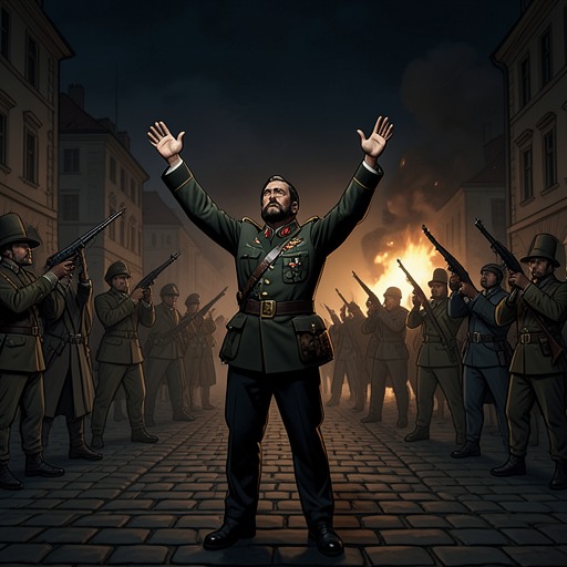
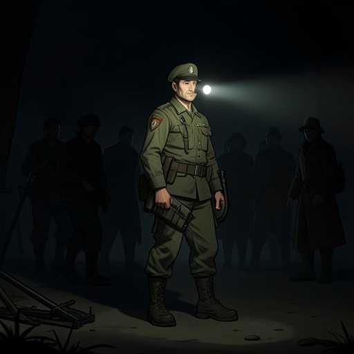
The wreckage of an earlier convoy makes that danger concrete. Its burned-out truck lies beside the road among scattered supplies, and the travellers pass two more charred trucks before dusk. Diogenes argues that the hottest part of the day is the safest time to travel, because the heat drives combatants into the shade and makes ambush less likely. The convoy presses on rather than stopping. When armed people appear in the road, neither side initially fires; a shot into the air becomes the signal that allows the travellers to identify the group and approach. The next account places the convoy in Pereira d’Eça. Only then does Rysiek notice that his cigarettes have become damp hay in his pocket, a small sign of how completely the journey has strained him.
The Inn and the Garrison
A wrecked billboard at the town entrance still advertises the Black Swan Inn as a comfortable stop on the 2,230-kilometre road from Luanda to Windhoek, promising air-conditioning, home cooking, a garden, and a bar. In the town as Rysiek finds it, those promises belong to another time. The houses have been looted, there is no electricity, and the heat remains oppressive at night. The inn is no longer a welcoming stop for travellers but a makeshift gathering place for the isolated unit.
Inside, Comandante Farrusco sits with Carlos and Esperança while soldiers drift outside the window. Farrusco asks why they are not going to their posts, but gives no order; Esperança says that patrols will not change the unit’s inability to defend itself. The scene presents command as constrained by the same isolation as the soldiers: the need to know where the enemy is does not create the strength to resist it. The garrison is present in the town, but its presence cannot make the surrounding territory secure.
A Map of Isolation
A staff map on the inn wall reduces the region to a few points and lines. One tack marks the unit at Pereira d’Eça; there are no other nearby tacks. Farther north, separate markers indicate Lubango, Mocçâmedes, and Matala. A thick, broken diagonal line traces the road, while crosses along the Cunene River mark the border with Namibia. Bush, desert, the Atlantic, and a park are distinguished by symbols, and two columns record the dead: five on the unit’s side and seven on the opposing side, with no totals line.
The map makes the town’s isolation legible without resolving it. It can show where the unit stands and where the road leads, but not whether that road will remain open or who controls the ground between its markers. Pereira d’Eça’s significance lies in that gap between mapped connection and lived separation: the town is linked to the north by a single route, yet exposed to danger along every part of it.