
The Map as a Question
I'll Be Gone in the DarkThis thread traces how geography shifts from a record of attacks into a method for asking where the offender lived, worked, and moved, while keeping geographic conclusions provisional.
increasing Bearing strength in each event
 decreasing
Bearing strength in each eventdecreasingA Local Beginning
A Local Beginning
Concentrated Attacks
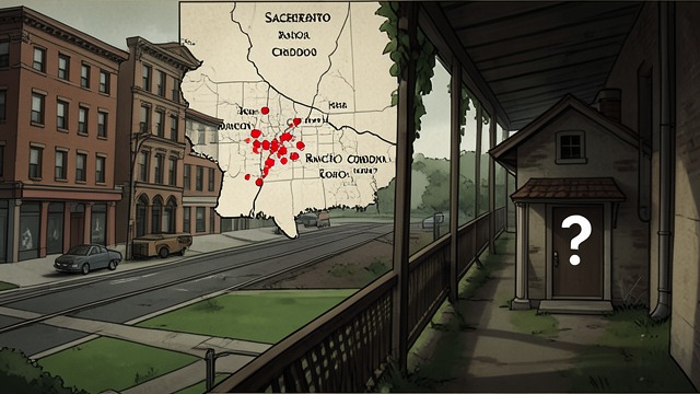
The earliest East Area Rapist attacks clustered around Sacramento neighborhoods, particularly Rancho Cordova. The offender seemed able to move through residential streets, greenbelts, and drainage corridors with knowledge that suggested familiarity rather than a series of random visits.
The Marauder Pattern
Investigators and later analysts considered whether the early geography reflected a nearby home base. In geographic profiling terms, a marauder begins from an anchor point and branches outward. The pattern could help narrow a search, but it could not by itself identify a resident or prove where the offender slept.
The map therefore became a question rather than a portrait. Repeated attacks established a meaningful spatial pattern, while the exact connection between those locations and the offender’s ordinary life remained unknown. Geography offered a way to focus investigation without turning probability into biography.
The Creek Corridor

The Creek Corridor
Movement Through Goleta
In Goleta, several attacks and prowling incidents clustered near San Jose Creek. The creek’s trees and unlit paths offered concealment between residential streets, and investigators later considered whether the offender used the corridor to approach homes without being easily observed.
A Possible Local History
A report about a German shepherd injured near the creek shortly before the first known attack suggested that a prowler may already have been present in the area. The incident acquired meaning only after investigators compared dates and locations, yet it could not establish the prowler’s identity or prove that the same person was responsible.
The landscape complicates the idea of a purely abstract offender who simply selected targets from a map. A creek can be a route, a hiding place, or a familiar childhood environment, but the records support possibilities rather than certainty. The book uses the terrain to show how careful mapping can generate hypotheses while leaving their personal meaning unresolved.
The Commuter Hypothesis
The Commuter Hypothesis
A Changed Geography
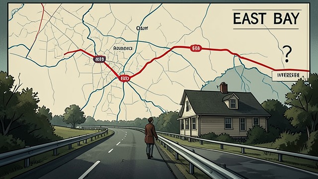
In the East Bay, attacks appeared to follow a different spatial pattern from the Sacramento cluster. Paul Holes observed that many lay near Interstate 680, suggesting an offender traveling between locations rather than simply branching outward from a nearby home.
Work as an Anchor
Holes proposed that changing life circumstances, perhaps a job, could explain the shift. A person commuting along the corridor might notice suitable neighborhoods during ordinary travel and exploit the fact that attacks occurred outside the jurisdictions familiar with earlier crimes. The theory offered a practical route through the geography, but it remained an investigative hypothesis.
The contrast between marauder and commuter patterns shows that movement can reveal possible routines without proving the motive behind them. The map prompts questions about home, work, and opportunity; it cannot say whether a route was chosen deliberately, imposed by employment, or shaped by coincidence.
Airports and Development

Airports and Development
A Strange Pair of Sites
Two attacks in the Modesto and Davis areas occurred about twenty-two hours apart. One report described a cab passenger picked up at an airport and dropped near new construction; in Davis, shoe impressions led investigators toward the university airport.
A Risky Inference
Paul Holes considered whether the offender might have traveled by small aircraft for work connected to land development. The development map and the airport route made the idea intriguing, but the evidence did not establish that the offender owned a plane, worked for a developer, or flew between the cities.
The hypothesis illustrates both the value and danger of connecting spatial clues. Two unusual details can form a coherent theory, yet the theory requires corroboration before it can become fact. The book preserves the possibility because it opens a line of inquiry, while emphasizing that the route remains an inference rather than a demonstrated journey.
The Buffer Zone
The Buffer Zone
Searching the Center
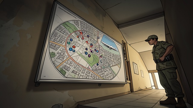
Later geographic analyses used attack locations, associated prowling reports, and crime chronology to estimate areas where the offender might have lived. Paul Haynes developed an informal map-based method, while Kim Rossmo’s professional analysis placed an anchor point in a nearby area, broadly supporting the idea that Sacramento geography could focus the search.
A Search Filter, Not an Address
The resulting buffer zones could help prioritize people who had lived in Sacramento and later in Southern California. They could not identify a particular house or resident. The book stresses that public records, directories, and geographic data might shrink the suspect pool, but incomplete records and misleading matches remained serious obstacles.
Geographic profiling deepens the case by turning scattered crimes into a structured question about routine movement. Its greatest value is not a dramatic pinpoint but a disciplined narrowing of possibilities. The map can tell investigators where to look more closely; it cannot tell them who they will find.
June–November 1976
September 1979–July 1981
October 1978–1979
June 1978
2014–2017
