The Knocknaree land-acquisition and rezoning scheme
In the WoodsThe Knocknaree land-acquisition and rezoning scheme was a sustained effort to acquire farmland around a proposed motorway and secure more valuable development classifications for it. Reconstructed by Sam O'Neill from a color-coded map and property records, the sequence made the motorway’s route more than a matter of public infrastructure: it was also a potential source of substantial private gains, and a possible motive for pressure surrounding the route. The evidence suggested coordinated advantage and political influence, but did not establish who, if anyone, had improperly tipped off the buyers or influenced council decisions.
Route and Early Acquisitions
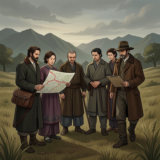
The map Sam presented to Rob Ryan and Cassie Maddox marked the planned motorway with parallel dashed lines cutting through Knocknaree wood and the archaeological dig. The government announced the route in March 2000, then bought land from local farmers over the following year under a compulsory purchase order. Sam distinguished those public acquisitions from the purchases that made the surrounding land important to his inquiry: farmland beside the route had begun changing hands in late 1995, before the announcement.
Over roughly the next four years, parcels around the future motorway were acquired bit by bit and rezoned from agricultural use to industrial and residential use. The timing prompted the question of whether the buyers had known the eventual route in advance. Sam offered a less conclusive possibility: discussion of a motorway into Dublin from the southwest had appeared in newspapers from about 1994, as Ireland’s economic boom began, and surveyors told him this corridor was an obvious route given the topography and settlement patterns. Developers could therefore have hired surveyors and anticipated the route without receiving a confidential government tip. Sam acknowledged that a tip-off remained possible, but said the evidence did not prove one.
Companies and Rezoning
By March 2000, three companies were connected to almost all the land around the relevant section of the route. The map distinguished their holdings by color: blue for Global Irish Industries, green for Futura Property Consultants, and red for Dynamo Development. Sam’s work had been complicated by layered ownership: many of the named companies were holding companies owned in turn by other companies. He traced the purchases back to those three firms, although he had not established who stood behind them. Two were registered in the Czech Republic and Futura in Hungary.
The records showed that acquisition and rezoning proceeded together. Once the three companies had obtained the land, they applied to have it rezoned and succeeded. Sam’s account placed that outcome against the repeated refusals of the farmers who had retained smaller parcels. The contrast was suggestive of unequal access to decision-making, but it was not, by itself, proof of a corrupt agreement. Sam thought the companies’ opaque structure might point to tax evasion and considered referral to the Revenue; at that stage, he did not see a proven connection to the criminal case.
The Holdout Farmers
Four farmers held out while the surrounding acreage was being bought. They were friends, had moved to Louth by the time Sam tracked them down, and understood that the offers they received were above the going price for agricultural land. They chose to wait and see what would happen rather than sell immediately. When the motorway plans were announced, they recognized why the buyers had been so interested: the new route would make Knocknaree more accessible to industrial estates and residential developments. They then tried to obtain rezoning themselves, which could have doubled or tripled the land’s value, but the county council rejected their applications.
The map’s annotations preserved the detail of one farmer’s unsuccessful efforts. Maurice Cleary applied four times—May and November 2000, then June 2001 and January 2002—and each application was refused. His parcel was marked as sold to Futura Property Consultants in August 2002; the land was rezoned two months later. Cleary had wanted to remain on his farm, partly out of determination not to be forced away. According to Sam, a representative of a holding company told him that a pharmaceutical plant would be built beside the farm and that chemical waste might seep into the water and poison his cattle. Cleary understood this as a threat. Sam could not say whether the danger had been real, but reported that Cleary sold; the difference between the treatment of the farmers’ applications and the companies’ successful applications sharpened the suspicion of favoritism.
Stakes and Limits of the Case
Sam had spoken to county councilors about the rezoning decisions. Their answers, as he recounted them, circled around a formal assurance that decisions had served the community’s best interests and had not been affected by favoritism. The assurance did not resolve his questions. He inferred that influencing decisions across so many cases and so much time would have cost the companies a substantial sum, but this remained an inference, not a demonstrated payment or a proven account of who was involved.
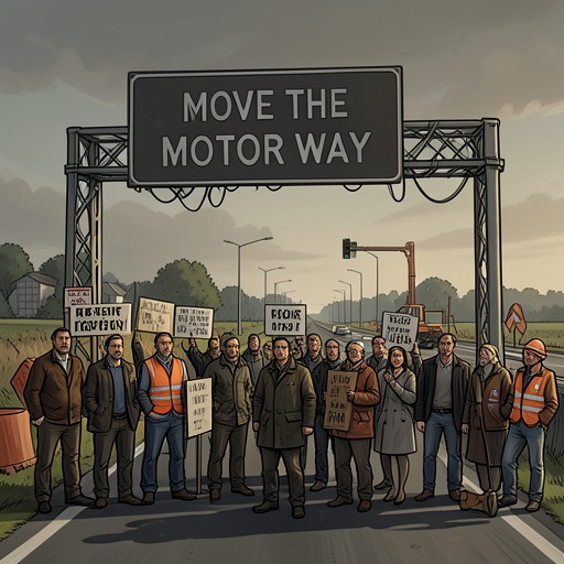
The route itself gave that inference a measurable economic context. Surveyors identified a logical alternative roughly two miles from the planned route, and four or five miles away in some places; the Move the Motorway campaign supported that alternative. Land north of it would remain accessible, Sam believed, but the companies also held substantial land to the south, whose value could fall if the motorway moved. Estate agents told him that industrial land directly beside the motorway could be worth as much as twice the value of comparable land three miles away. Although he had not calculated the total, Sam thought the difference could amount to millions. That potential loss gave the route a clear financial stake, while the map’s careful trail of colored parcels and rezoning dates left the central allegation—whether private interests had shaped public decisions—unsettled.