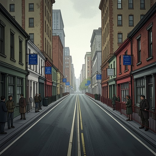
Shankill Road
Say NothingShankill Road is one of Belfast’s defining Protestant districts and one half of a sectarian geography that shaped both political protest and everyday life. Running roughly parallel to Falls Road, its Catholic counterpart, the Shankill approached the city centre without meeting it; the two communities were separated by connecting streets where territory changed from one side to the other. The road therefore mattered not only as a place to live, but as a visible edge between rival communities, whose divisions were later reinforced by barricades and Peace walls.
Geography and social boundary
The Shankill and Falls roads formed parallel routes into central Belfast. Between them ran narrow cross streets lined with rows of identical terraced houses. Somewhere along each street, Catholic territory gave way to Protestant territory. This arrangement made the sectarian division both ordinary and legible: it ran through residential streets and neighbourhood borders, rather than existing only in political argument.
The Shankill was a Protestant stronghold, but it was also a working-class district. Dolours Price argued that the religious division distracted from shared economic hardship, pointing to Protestant families living in poor housing along the road, without indoor toilets. Her argument did not deny that Catholics faced severe discrimination in Northern Ireland, including exclusion from good jobs and housing; it challenged the idea that working-class Protestants were simply the other side’s enemies. In this account, the district’s material conditions complicate a map that might otherwise appear to divide Belfast into two uniform political camps.
A stage for competing politics
In 1969, the Shankill became part of the confrontation around the Belfast-to-Derry civil-rights march. The marchers sought to protest discrimination against Catholics in Northern Ireland. As they travelled, Protestant unionists harried them, and Ronald Bunting led a counter-protest against their procession. A former British Army officer known to his followers as the Major, Bunting had come under the influence of Ian Paisley and belonged to the Orange Order. His supporters jostled the marchers, tried to seize their banners and raised the Union Jack. When asked whether it would have been better to ignore the procession, Bunting answered that the marchers could not be ignored.
The dispute was not merely about a procession passing through a divided society. It exposed competing fears about who belonged in Northern Ireland and whether Britain would defend its unionist population. That year, the province’s prime minister, Terence O’Neill, described Protestant anxiety that Catholics would outnumber them; many unionists also doubted whether Britain would intervene if their position weakened. The Shankill’s identity as a Protestant stronghold gave such anxieties a local address, while the march challenged the assumption that religious identity should determine political allegiance.
The confrontation also cut through one family. Ronnie Bunting, Ronald’s son, was among the marchers. A student at Queen’s University Belfast, he had moved into radical politics, while his father organized the loyalist opposition. Ronnie’s presence showed that the boundary marked by the Shankill was never an absolute division between people of different beliefs: political commitments could cross it, even when doing so placed a son on the opposite side of his father’s public campaign.
From street politics to fortified borders
During the 1969 riots, barricades went up around Belfast neighbourhoods, formalizing divisions that had already been mapped onto streets such as those between the Shankill and Falls roads. The barricades were eventually replaced by Peace walls, towering barriers that separated one community from another. Paramilitary groups took on policing roles within their respective enclaves, and teenage sentries watched the boundary lines. The city’s geography thus became more than a backdrop to conflict: it was physically altered to manage the danger created by the conflict.
The book places that hardening of neighbourhood boundaries alongside the Irish Republican Army’s weakness at the start of The Troubles. After a failed border campaign in the 1950s and early 1960s, the organization had little support and only about a hundred members in Belfast when the riots broke out in 1969. In the immediate aftermath, however, barricades and the policing of enclaves made communal separation more tangible. The Shankill’s position opposite Falls Road consequently belongs to a story of political and social change, not simply to a fixed map of Belfast.
A boundary that outlasted the fighting
The later account of Belfast presents the end of large-scale conflict as no simple end to division. Even after the Good Friday Agreement, Peace walls remained, and there were more of them than at the height of The Troubles. The city centre could seem cosmopolitan and the conflict distant, yet most residents still lived in neighbourhoods shaped by religion; children largely attended segregated primary schools, and people in some areas walked farther to use bus stops where they would not be hassled. These details describe Belfast as a whole, but they give continuing force to the Shankill’s place within its divided geography.
The road also stands within a broader contest over political memory. The conflict’s history was repeatedly made visible through commemoration, public symbols and tours of former flashpoints, while the deeper divisions remained unsettled. In this setting, the Shankill is significant as both a lived working-class community and a shorthand for the Protestant side of Belfast’s communal boundary. Its history resists a simple opposition between two blocs: the same district could be a loyalist centre of resistance to a civil-rights march, a place marked by deprivation, and the home of a young protester who joined that march against his father’s politics.