Garmin GPS
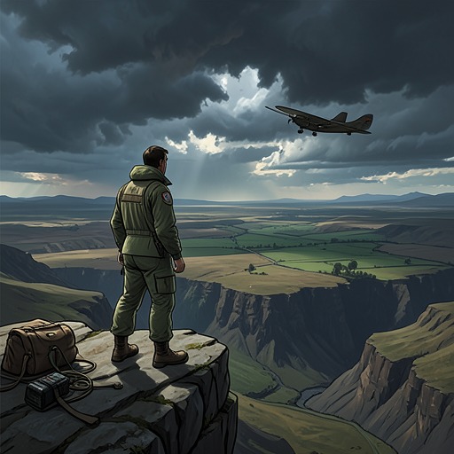
The Dog StarsThe Garmin GPS remains a functioning guide in a world where reliable navigation no longer guarantees a safe destination. Mounted on the aircraft’s yoke, it receives satellite signals and warns Hig when he is getting too close to high ground. Its nearest-airport function can still point the way, but nine years after the collapse, many runways have deteriorated or become hazards. The device preserves an old system of orientation; the landscape it describes has changed beneath it.
Design and Everyday Use
The Garmin GPS’s continued operation is striking against the scale of the collapse. The satellites still transmit signals, allowing the unit to triangulate Hig’s position. Its terrain warning flashes when the aircraft approaches high ground, a reminder that the surrounding mountains remain an immediate navigational constraint. The equipment is not described as restored or specially modified: it still works in the form in which Hig used it as a pilot before the old world ended.
Its Nearest button turns that positioning information into a practical list: the closest airports, their identifiers, distances, bearings, and tower frequencies. Hig can select a destination and use Go To to obtain a vector, then steer by bringing the arrow back to the center of its arc. Before the collapse, he relied on this sequence when weather, other trouble, or low fuel made a quick decision necessary. The system’s usefulness lies not just in knowing where the aircraft is, but in converting that location into a course toward a possible landing place.
Navigation After the Collapse
The Garmin’s promises now meet a damaged network of airfields. Runways that once appeared as available destinations may be unusable, or may require a pilot to know the precise position of a two-foot pothole and steer around it. After nine years without maintenance, some tarmac has already begun turning back into grass and ground. The nearest-airport list still answers its technical question, but it cannot establish whether the listed runway is intact, accessible, or safe.
That gap between information and usable refuge changes the meaning of the button. Hig’s former pilot’s best friend has become, in effect, a guide to possible death traps. The device’s data remains legible while the infrastructure behind the data decays. A bearing and distance can lead to a strip of land, but neither tells him whether someone there will shoot at an approaching aircraft. The Garmin makes navigation more precise, not the world more dependable.
Surveying the Airfields
Hig responds to that uncertainty by making his own survey rather than trusting the display alone. Using a sectional chart, he flies every airstrip within a hundred miles, making low flybys in good light and recording what he learns. His survey includes Centennial, Colorado Springs, the Air Force Academy, Kirby, formerly Nebraska, and Cheyenne. The flights reveal how many places could have killed him if he had treated an airport symbol as proof of a safe landing.
At Cranton, the danger becomes unmistakable. During a low, parallel flyby, a xenophobic shooter puts a hole through the fuselage; the shot exits through the side window. Hig survives the pass and understands that there are armed neighbors there. The Garmin can locate Cranton, but it cannot report the people waiting on the ground or distinguish a viable runway from an ambush. His notes therefore supplement the electronic list with knowledge acquired at risk. The device remains useful, but only as one part of a pilot’s judgment.
A Tool Within a Larger System
The airfields on the Garmin’s list belong to a wider infrastructure of water, fuel, power, and communication. Hig recognizes that airports can attract survivors because they combine those resources; at Erie Airport, solar panels, wind power, pumps, radios, and a beacon are part of the practical means of keeping an airport operating. Such facilities can make a place both valuable and exposed. The GPS supplies orientation within this network, but it does not preserve the network or secure the people who depend on it.
The Garmin therefore embodies a qualified kind of continuity. Its signals and functions outlast the society that made routine flight and maintained runways possible. Yet Hig cannot use its apparent certainty without testing it against potholes, deteriorated surfaces, and armed strangers. The most consequential change is not that the GPS stops working, but that its reliable information no longer guarantees a reliable destination. In the post-collapse landscape, technology can still show where a place is; survival depends on discovering what that place has become.