Seine
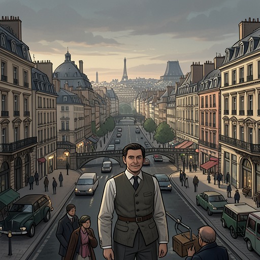
The Hunchback of Notre DameThe Seine gives medieval Paris its shape and motion: first a boundary around the Île de la Cité, then a moat and defensive line, and finally a network of crossings that binds the City, the Town, and the University into one urban body. Seen from the towers of Notre-Dame Cathedral or navigated at night beneath its quays, the river is at once a feature of the city’s design and a force that directs the plot.
Geography and the Growth of Paris
Paris began on the Île de la Cité, whose shoreline served as its first boundary wall while the Seine functioned as its first moat. Two bridges, one to the north and one to the south, connected the island to the banks; the Grand Châtelet and Petit Châtelet guarded their approaches as gates and fortresses. As the settlement outgrew the island, it crossed the water. Successive walls and towers extended the city onto both banks, and the expanding mass of houses eventually spilled beyond those defenses. The river thus marks a change in Paris’s scale: from an island settlement to a city whose growth repeatedly pressed past its own enclosures.
In the fifteenth century, the Seine enclosed five islands within Paris. Louviers Island still had trees, while the Île aux Vaches and Île Notre-Dame were nearly uninhabited, each containing only one house and belonging to the bishop. In the seventeenth century, the latter two islands would be joined, built upon, and named Île Saint-Louis. At the eastern tip of the Île de la Cité, a smaller islet associated with a cow tender would eventually disappear beneath the platform of the Pont-Neuf. These changes make the river’s geography provisional: channels separate land into islands, but later construction can merge or cover those divisions.
Crossings, Defenses, and Urban Arteries
The river’s bridges were crowded continuations of the city rather than empty spans between its banks. The Île de la Cité had five bridges in the period described: the Pont Notre-Dame and Pont au Change on the right-bank side, both of stone, and the wooden Pont aux Meuniers; toward the left bank stood the stone Petit Pont and wooden Pont Saint-Michel. Houses filled these crossings, extending the density of the city across the water. At night, gates closed and immense iron chains barred the river at both ends of Paris; a deep moat around the walls drew its water from the Seine. The river could therefore facilitate movement by day and help contain the city after dark.
From above, the City, the Town, and the University appear as separate, tangled districts, yet the Seine helps make them one. Two long north-to-south streets pass through all three, crossing the water by the Petit Pont and Pont Notre-Dame on one route, and by Pont Saint-Michel and Pont au Change on the other. Their names change from quarter to quarter, but they form two continuous arteries; the river’s crossings connect the sections through which those streets run. Further lengthwise thoroughfares intersect them, producing a framework beneath Paris’s maze of smaller streets. The Seine is not merely an edge on the city map: its bridges make it part of the circulation that joins the whole.
The River Seen from Above
The account of Paris in 1482 repeatedly changes scale between the city’s layout and its visible detail. From the towers of Notre-Dame Cathedral, the first impression is a tumult of roofs, chimneys, streets, bridges, squares, and spires. The river runs through this crowded prospect, breaking it into islands and giving coherence to the three urban districts. In the wider view, the Île de la Cité occupies the centre, the University lies to the left, and the Town spreads to the right; the Seine passes among them, while boats and bridges fill its course.
At dawn, the same river becomes a distinct visual line across a city emerging from darkness. Its surface carries silvery folds where it meets the arches of bridges and the points of islands; beyond the ramparts, mist softens the surrounding plains and hills. The contrast between the ordered lines of water and the packed roofs gives the city both a visible structure and a sense of movement. From the tower, the Seine helps make Paris legible as a whole; at street level, its banks and crossings divide experience into particular routes and obstacles.
Quays, Surveillance, and Escape
During the assault on Notre-Dame, the river’s quays become a space of warning. Keeping watch from the Northern tower, Quasimodo notices that the line of the quay beside the Vieille-Pelleterie seems to undulate against the pale water. The movement advances toward the City, disappears as if passing into the island, and then appears again near the Rue du Parvis, where a column of people emerges into the square. From his elevated position, Quasimodo reads the approaching crowd not through faces or lights, but through a disturbance in the dark riverfront. The Seine’s edge makes an otherwise obscured movement visible.
Later, Gringoire and Esmeralda leave the church by way of the cloister’s eastern enclosure, the Terrain, a tongue of land belonging to the chapter of Notre-Dame. They reach a concealed boat at the water’s edge. Gringoire brings Djali aboard, Esmeralda sits beside him, and the man with the lantern takes the oars. The Seine is swift at this point, and the rower struggles to pull away from the tip of the island and across the current. After rounding the point of Île Notre-Dame, he heads for the landing place at Port an Foin. The river offers a route out of the immediate tumult, but the crossing is difficult and does not settle the party’s safety.
The boat’s temporary refuge gives way to separation on the riverbank. Esmeralda is left alone with the man in black as the noise of the city carries across an arm of the Seine. She calls for help at a lighted window, but the person there looks out and closes the shutter. The river has placed her within hearing of the crowd while leaving her physically apart from it: cries reach her from the city, but no passer-by intervenes. In this sequence, water is both passage and barrier, first carrying the group away from the church and then marking the distance between Esmeralda and possible aid.
Narrative Significance
The Seine links the book’s grand description of Paris to the constrained paths taken by individual characters. On the citywide scale, it shaped the island settlement, supported defensive boundaries, and was crossed by the principal streets that joined the City, the Town, and the University. In the night scenes, however, that same geography becomes immediate: a watcher interprets movement along a quay, a boat struggles against a current, and an island’s eastern point provides an exit from the church precinct. The river’s course supplies connections, but each crossing also creates a threshold at which a route can become uncertain or a group can be divided.
Its recurring appearances consequently resist the idea of the river as mere scenery. The Seine organizes the visible form of Paris from the towers, carries the city’s traffic across its bridges, and shapes the possibilities of movement during the attack on Notre-Dame. Yet its banks do not guarantee protection: escape by water is provisional, and physical nearness to the city does not ensure that help will come. The same river that makes Paris one connected body can also hold a vulnerable person apart from it.