Interior of the Earth
A Journey to the Centre of the EarthThe Interior of the Earth is the vast, concealed setting that turns a cryptic instruction into a journey and a scientific hypothesis into a sequence of perilous, measurable encounters. Reached through the crater of Sneffels, it is not presented as an abstract destination alone: it takes form through a shaft and galleries, through instruments and journal entries, and eventually through a great inland sea whose distances the travelers calculate. Its significance lies in the friction between the explorers’ urge to classify the unknown and a world that repeatedly exceeds their expectations.
Name, Instructions, and Destination
The location first enters the story as the promised end of a deciphered message attributed to Arne Saknussemm. The instruction directs the audacious traveler to descend into the crater of Yocul of Sneffels, at the point caressed by Scartaris’s shadow and before the Kalends of July; the reward it promises is reaching the centre of the earth. The terse declaration that the writer had done it changes the Interior of the Earth from a speculative idea into a claimed precedent, and gives Professor Hardwigg’s expedition both a route and a challenge to verify.
The message’s authority is itself pieced together through material evidence. Professor Hardwigg distinguishes the manuscript volume from the smaller document by their different handwriting and argues that the cryptogram is later than the book: its first double M, he says, entered the Icelandic language only in the twelfth century, making the parchment two hundred years posterior to the volume. Henry Lawson regards the inference as plausible but still conjectural. The destination thus begins within a tension between documentary proof and interpretation: Saknussemm’s stated achievement motivates the journey, but the explorers must still test what the writing can establish.
Threshold and Descent
The approach to the hidden world passes through Iceland, where the explorers encounter a landscape already marked by geological force. From Reykjavik, Henry describes a flat, marshy plain between two hills, with a vast lava field falling in terraces toward the sea and Faxa Bay opening toward the glacier of Sneffels. Professor Hardwigg, by contrast, says he is interested not in what lies above the surface but in what is below it. That contrast gives the expedition its defining direction: the visible landscape is not the goal, but a threshold to be read and crossed.
At the summit of Sneffels, Hardwigg identifies the mountain’s north and south peaks and asks Hans to name the one on which they stand. Hans supplies the name Scartaris, linking the guide’s local knowledge to the landmark in Saknussemm’s instructions. The expedition’s geographical reasoning is therefore not entirely self-contained: it depends on an Icelandic guide’s concise identification even as the visitors take up the task of turning the region into a route and a record.
The descent marks the beginning of the “real journey,” when earlier fatigue gives way to unknown danger. The shaft’s near-perpendicular sides offer projecting footholds, but the rope poses a practical problem: once the travelers reached the bottom, how could they retrieve it from above? Hardwigg solves this with a cord about as thick as Henry’s thumb and at least four hundred feet long. He doubles it over a block of lava at the edge, allowing each traveler to descend about two hundred feet before releasing one end and pulling down the other. The scheme makes downward travel manageable, but leaves Henry thinking about the more difficult return.
Measurement and the Limits of Theory
Before entering the passage, the expedition organizes its equipment into four groups: instruments, arms, tools, and provisions. The instruments are not incidental baggage; they are the means by which the travelers hope to turn an inaccessible region into a knowable one. Their preparations include a centigrade thermometer and a compressed-air manometer intended to measure atmospheric pressure below the surface. The choice of a manometer reflects the expectation that pressure may rise with depth, while Henry’s doubts about the thermometer’s range already expose uncertainty about what conditions the instruments will have to register.
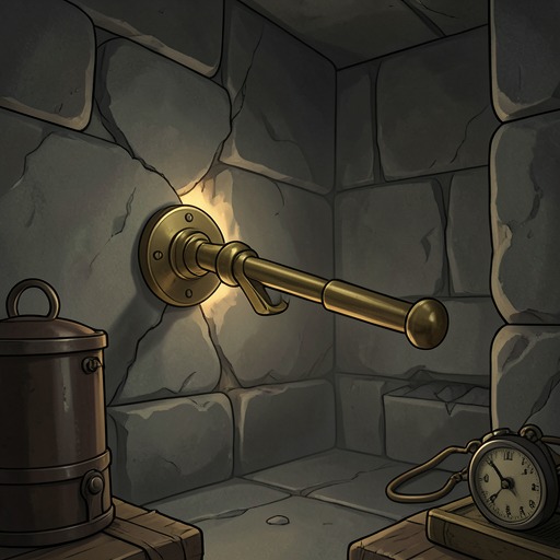
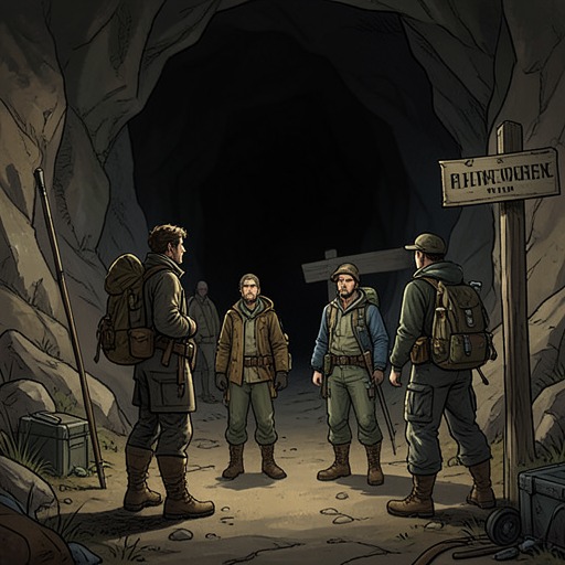
Hardwigg records the expedition in a travel notebook, beginning with the date and chronometer reading. When the travelers enter the obscure gallery, he declares that they are taking their first step into the Interior of the Earth, a place no one has visited since the first creation of the world. He and Hans put their Ruhmkorff lamps into operation, bringing artificial light into the dark passage and enabling movement amid inflammable gases. The notebook, compass, lamps, and measuring instruments make the opening of the underground route at once a physical passage and a documented experiment.
The measurements soon complicate expectation. Hardwigg calculates that they are six thousand feet deeper than anyone had previously reached, beyond the known depths of the mines at Kitzbuhel and in Wurttemberg. Yet the temperature is only fifteen degrees, when it should be eighty-one. Later, a reading of twenty-seven and six-tenths prompts Hardwigg to say that the proportional increase in temperature is wrong by fourteen hundred and seventy-four degrees and four-tenths. He invokes Humphry Davy’s theory against the expected geothermal rise, while Henry acknowledges the evidence of his senses but remains surprised. The Interior of the Earth is thus revealed not through a single discovery, but through repeated collisions between theoretical prediction and recorded observation.
Routes, Names, and Expanding Scale
The explorers’ descriptions continually convert unfamiliar space into named and measured geography. On reaching the summit, Hardwigg estimates that they are only thirty-five leagues from Greenland and explains how bears may reach Iceland on floating ice during the annual breakup. The surrounding region is still being understood from position, distance, and natural process; even before the descent, the journey’s knowledge depends on calculating where the travelers stand in relation to other lands.
That impulse to name continues when the party constructs a raft on the shore of the subterranean sea. Hans has already assembled a half-finished craft from unusual beams and a quantity of limbs, joints, and boughs. He makes a rudder, takes the tiller, and guides the raft as the travelers set sail toward unknown regions. As they leave the little port, Hardwigg proposes names, including Henry’s; Henry offers another proposal of his own. The naming episode makes exploration an act of description as well as movement: the travelers do not merely cross unfamiliar terrain but seek to make it legible through labels.
The scale of this inland sea is later set down with numerical precision. Before leaving an island, Henry calculates from his observations and records in his journal that the party has traveled two hundred and seventy leagues—more than eight hundred miles—since leaving Port Gretchen. They are six hundred and twenty leagues from Iceland and, according to the calculation, directly beneath England. The figures give the hidden world a map-like relation to the surface, even as the expedition’s route has led through spaces that ordinary surface geography cannot disclose.
Danger and the Explorers’ Claim to Knowledge
Knowledge of the Interior remains inseparable from bodily risk. During the sea voyage, Henry’s attention becomes so fixed that he fails to see his surroundings clearly. Hardwigg warns him that he is about to fall into the water, and Hans seizes him with a firm hand. Without the guide’s quick action, Henry would have fallen into the waves and drowned. The incident sharply qualifies the confidence of measurement and naming: the travelers may calculate their position, but their survival still depends on practical vigilance and Hans’s intervention.
The explorers’ journals and measurements present the Interior of the Earth as something that can be surveyed, compared with surface locations, and entered into scientific argument. Yet the story keeps the limits of that project in view. The temperatures contradict expectation; routes must be improvised with a cord, a lamp, and a raft; and an inattentive moment can turn a voyage of discovery into immediate danger. Even the claim to be beneath England is an inference written into Henry’s journal, not a view of the surface above. The location’s narrative force comes from this double movement: the expedition steadily makes the unknown describable, while the unknown repeatedly exposes the provisional character of what its explorers think they know.