Roswell Road
The Passage (Justin Cronin Edition)Roswell Road is the route that carries a party of survivors toward the Roswell Garrison, linking a precise chain of directions and supply points to the uncertainty of travel through the post-collapse interior. Identified with Route 60, it is not a dependable highway so much as a difficult passage whose viability rests on abandoned infrastructure, stored fuel, and careful navigation.
Route and destination
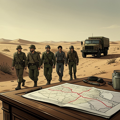
Before the party leaves the farmstead, Greer gives Sara a route: from the fuel depot, head south on Highway 191, pick up Route 60 at Eagar, and follow what he calls the Roswell Road toward the garrison. He has marked fortified bunkers on Hollis’s map with red crosses; spaced about every hundred kilometers, they should offer gas, ammunition, and other supplies. He also warns them to avoid Albuquerque, which he says is crawling with danger. The directions turn an uncertain expedition into a sequence of landmarks and contingencies rather than a simple drive to a destination.
The road in the journal
Sara’s journal, presented as an excerpt from The Book of Sara at a later scholarly conference, records the journey in dated entries. On Day 268, three days after leaving the farmstead, the party crosses into New Mexico just after sunrise. The road is in very bad shape, and although Hollis believes they are on Route 60, abandoned cars—some blocking the way—slow their progress across open country. The group is exhausted after sleeping outdoors; the baby is restless, tempers are fraying, and fuel has again become a concern. With only the fuel in the Humvee and one extra supply taken from a cache, Hollis estimates five or six days to Roswell.
By Day 269, the first red cross appears, painted in a huge splash on the side of a grain silo fifty meters high. Mausami spots it from above, and the sight lifts the party’s spirits: Greer’s marks correspond to real provisions. They spend the night in a concrete bunker behind the silo, apparently a former pumping station, dark and damp and full of pipes. Fuel stored in drums allows them to refill the Humvee before they secure themselves for the night. Even this successful stop offers little comfort; the floor is bare concrete, and Albuquerque is close enough that sleeping in the open no longer seems safe.
Infrastructure and narrative significance
The route’s promise depends on infrastructure inherited from a world that has largely ceased to function. Roads, abandoned vehicles, a converted or repurposed pumping station, stored fuel, and Greer’s map all become parts of a survival system maintained through knowledge and trust. The red crosses matter because they make that system legible: a mark on a distant structure becomes a place to refuel and shelter, but not a guarantee of ease or safety.
Roswell Road also belongs to a wider pattern of fragile connections in the novel. Elsewhere, Michael recognizes that the Colony’s batteries are failing and that its forbidden radio had once been destroyed to limit contact with the outside world. In that context, a route to the Roswell Garrison represents more than geographic movement: it is an attempt to reconnect separated communities through a landscape where power, communications, and transport can no longer be taken for granted. The journal’s measured mileage, fuel calculations, and daily setbacks give that hope its material cost.