Philip Earle’s maps
HarvestPhilip Earle’s maps are at once pictures of the estate and instruments in a struggle over who may shape it. Commissioned to record the land for court petitions, the charts first translate The Village into lines and geometric blocks; later, their richly colored views set the existing commons beside a subdivided sheep-farming future. Their beauty makes the land newly visible, but their omissions expose how mapping can make a contested transformation seem orderly and inevitable.
Commission and Purpose
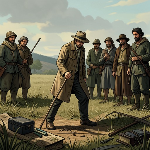
Philip Earle arrives during the final day of barley harvest, when the villagers are cutting the crop and he is working with brushes and quills. At Charles Kent’s request, he records the land on a drawing board. His early chart renders fields and woods as geometries, cottages as squares, and ponds and lanes as marks on a surface. The inhabitants can inspect the work, but what they see is already a change of scale: familiar places become a connected arrangement of shapes rather than ground known through labor and movement.
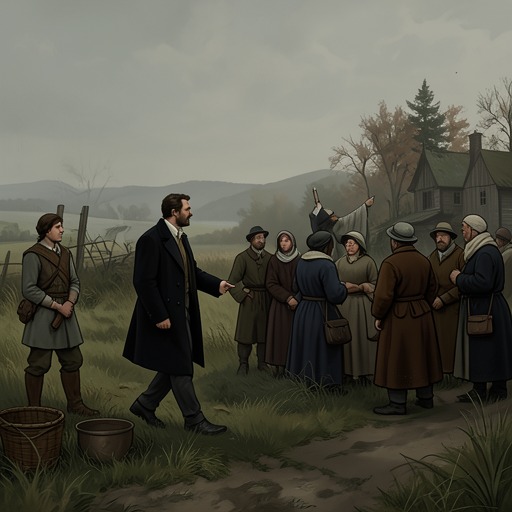
At a communal feast, Charles Kent introduces Philip Earle as the mapmaker he has employed to survey the common ground and the estate. The proposed use is practical and consequential: Philip Earle is to note the land and prepare petitions for the courts. He shows the villagers a more complete chart, then a second representation of what is to come. That future map is not merely a record of existing arrangements. It gives visible form to the sheep fields and enclosure that the villagers fear will replace their customary landscape.
The apparent commission conceals a larger property conflict. Philip Earle tells Walter Thirsk privately that another Jordan has a claim over the estate. Lucy Kent’s inheritance was to pass, on her death, to male heirs by blood; she left no surviving son, and Charles Kent is her husband rather than a blood heir. The maps and the changes they depict are therefore demanded by the cousin who is coming to assert his entitlement, Young Edmund Jordan. Their legal function links drawing to possession: the charts help present the land in a form that can support a claim and a reorganization.
Naming the Ground
Philip Earle’s effort to describe the estate also brings out a difference between his method and local knowledge. Walter Thirsk can identify plants and explain their uses, including medicinal, practical, and other properties. Philip Earle records what he learns and sometimes presses a leaf or flower into his personal natural-history book. Naming, for him, is a way of knowing; for Walter Thirsk, a name is often bound to what a plant or place does in daily life.
The villagers’ place-names are similarly practical. Walter Thirsk offers East Field, West Field, and South Field, alongside places named for a family, an activity, or what grows there. The names orient people through use rather than decoration. The settlement itself has no more elaborate title than The Village, while the estate appears in documents as Jordan Estate or as the property of Edmund Jordan. Philip Earle would like names that can be recorded beside measured angles and shapes, but the plain local vocabulary reflects a different ordering of the land: one grounded in work, direction, and habit.
That difference matters because a chart can preserve selected names and boundaries while changing what counts as knowledge. Walter Thirsk knows the estate by walking it, working its fields, and recognizing its useful plants. Philip Earle’s record instead gathers separate places into one composed view. When the map represents The Bottom, Turd and Turf, the commons, cottages, woodland, and the unbuilt church together, it makes them adjacent on paper in a way they are not visible together from the ground.
The Existing Map and the Proposed Future
As Philip Earle develops the charts from scratchy records into painted designs, Walter Thirsk recognizes the barley field by its distinctive form: the poorer low ground, the broader upper reaches, the field edges, and the winding stream. He identifies the common landmarks in the image, including Turd and Turf, the deep wood, the commons, cottages, and the unbuilt church. The painting offers an encompassing view of a world that no person on foot can see all at once. Its colors and patterns are compelling, and Walter Thirsk finds the image moving even as he questions its claim to be a true account.
The mismatch is specific. On the ground, the route between fields involves slopes, a ridge, a cow track, a rise, and a narrow passage through thorn. The journey takes time and effort; the fields cannot be seen together from the path. Philip Earle’s map compresses these distances and makes the land appear effortless. It has no shadows or shade, and cannot record the time taken to walk, work, or endure the seasons. Its accuracy in identifying recognizable forms does not make it a complete account of lived terrain.
The proposed sheep-field chart is more colorful and more tightly patterned, but its apparent order carries a sharper cost. Its fields are smaller, divided, and edged; the dark woodland has nearly disappeared, and the image offers no eye or ear to stand for the working people who belong to that landscape. The chart therefore depicts more than a different agricultural arrangement. By making enclosure legible as a neat patchwork, it diminishes the visible presence of the woods and the community whose labor and customary rights are bound to the existing ground.
Cartography and Authority
The maps’ visual clarity gives them authority, but Walter Thirsk’s response keeps that authority unsettled. He can locate himself on the painted sheets and translate their shapes into familiar places; he also recognizes that the same surface excludes the experience by which those places are known. A map can show a field’s outline without showing the work needed to harvest it, or bring distant features together without conveying the walk between them. What is omitted is not incidental: labor, duration, terrain, and the village’s practical dependence on shared land are among the facts most important to its inhabitants.
The contrast between the two charts makes the political change visible before its full implementation. The existing map gathers fields, commons, woodland, and cottages into a single view. The future map recuts that world into smaller bounded units, while the woodland recedes. The second image is beautiful too, which complicates any easy opposition between an honest present and an ugly future. Its appeal does not remove its consequences; rather, the elegance of its pattern may help make enclosure seem like a natural improvement instead of a contested transfer of land and authority.
Philip Earle’s maps thus do not simply show the estate. They help define what can be seen, named, and presented to a court, while leaving out much of what gives the land meaning to those who live and work there. Walter Thirsk’s intimate knowledge both enables him to read the charts and exposes their limits. The resulting tension is central to their significance: the maps make the estate visible from above, but the view that promises completeness also flattens the lived world and anticipates its reorganization.