Mapping and Power over Land
HarvestMapping and Power over Land concerns the contest between land as measured property and land as a place known through work, custom, and daily movement. Philip Earle’s surveys turn fields, woods, cottages, and people into marks that can support petitions and an imposed sheep-farming plan. Walter Thirsk can read those representations, yet his intimate knowledge also exposes what they omit: labor, distance, terrain, and customary claims. The maps are beautiful and useful, but their authority lies partly in making a proposed transformation appear orderly and legible.
Surveying the Estate
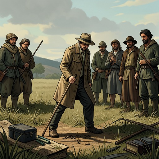
The first survey arrives during the final barley harvest, when an unfamiliar gentleman watches the villagers reap while recording the land at Charles Kent’s request. His board holds geometric fields and woods, squares for cottages, and marks for ponds and lanes. The villagers see him return with measuring equipment and observe him counting them: the total is fifty-eight. A map that appears to describe soil and settlement thus also makes the community itself countable.
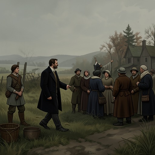
The survey provokes unease because its purpose is unclear. The villagers understand their own livelihood through shared portions of flour, meat, and cheese, while fearing that the land may be measured for sale. Their suspicion connects cartography to the estate’s economic future: to measure a field is not simply to notice its shape if the result can be used to reorganize who lives and works there. The surveyor’s amiable manner does not settle the question of what his measurements will enable.
Philip Earle later explains the practical and legal purpose. Charles Kent has employed him to map common ground and estate land, and the resulting work is meant to support petitions in court. A working chart reduces the villagers’ world to lines and squares; a further chart presents a future arrangement. At the communal feast, Charles speaks of the maps as a basis for organization intended to benefit everyone, but his hesitant presentation cannot conceal the impending change Walter recognizes: enclosed fields, walls, hedges, ditches, and gates, with common land cleared and converted to wool production.
Custom, Inheritance, and Authority
The maps’ political force becomes clearer when Philip Earle privately tells Walter why the proposed changes are being made. Charles is not acting freely on his own behalf. The estate’s inheritance depends on blood descent: Lucy Kent inherited from her father, Edmund Jordan, and the property was to pass after her death among her male heirs by blood. Lucy died in childbirth, and her child was a daughter; Charles, her husband, is not a blood heir. Young Edmund Jordan, a cousin with a claim to the property, is expected to arrive and assert it. According to Philip, the charts and the sheep-related changes are demanded by that cousin.
This disclosure changes the meaning of the survey. What had seemed to be an uncertain landowner’s response to hardship is also preparation for a competing legal claim. A chart can help make a claimant’s intended improvements concrete: it translates a broad estate into bounded, differentiated parcels that can be discussed and petitioned over. Its lines do not create the inheritance dispute, but they give the prospective transformation a visual and administrative form.
The villagers’ understanding of possession rests on a different authority. They acknowledge that Charles holds deeds and titles, yet insist that their labor gives them a claim to the ground and to customary common rights. Harvesting is collective: people of different ages and roles reap, bind sheaves, glean, and prepare grain for storage. The community’s attachment to land is sustained by the work that feeds it, not by a document alone. Their customary claim is therefore difficult to represent in a chart that records boundaries and parcels more readily than shared use, seasonal labor, or dependence on a poor harvest.
The conflict also sits among overlapping forms of authority rather than between law and lawlessness. Charles first confronts the newcomers at the clearing and recognizes that the written law must be obeyed. Later, Young Edmund Jordan treats legal punishment as a matter of strict entitlement and rejects Charles’s leniency. The estate’s inherited claims, formal procedure, Kent’s discretion, and village custom all shape what can be done with land and people. Mapping serves the legal process, but it cannot resolve the competing moral and customary claims that the map leaves out.
Place Names and Lived Knowledge
Walter’s knowledge of the estate begins not with a bird’s-eye view but with names tied to use and inhabitants. He gives Philip ordinary designations such as East Field and West Field, John Carr’s flax garth, the Higgses’ goose pen, Hazel Wood, the Turbary, and the Warren. Such names orient people through direction, family association, or what grows and is kept in a place. The Village itself has no elaborate title; the estate is recorded instead as The Jordan Estate or The Property of Edmund Jordan. This plain vocabulary reflects a practical way of knowing space that does not require the landscape to be renamed as a system of abstract parcels.
The contrast is sharpened by Walter’s recollection of his first encounter with The Bottom. He initially saw flowers, trees, and the promise of a beautiful spring landscape; experience as a husband and working man taught him that the land demands sustained effort and offers little time for contemplation. His later knowledge includes both the first impression and the labor that corrected it. Philip’s interest in plants and views recalls Walter’s former wonder, but the mapmaking project takes that act of attention in another direction: names, specimens, measurements, and shapes can be gathered into a designed account of the estate.
The Map as Image and Argument
While Walter prepares vellum from an animal skin, Philip turns his rough surveys into colored designs without lettering. Walter recognizes their patterned beauty, comparing their intricate forms to structures found under bark, on stones, or among mosses and leaves. The comparison grants the maps an aesthetic power without treating them as faithful records. Their vivid order is compelling precisely because it offers a view unavailable to someone walking the ground.
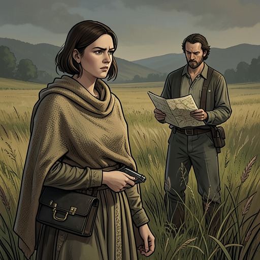
Philip asks Walter to identify the barley field, and Walter can do so by recognizing the low, poor-soil sections, the broad upper reaches, the darker boundary banks, and the winding stream. He also recognizes the boggy path, Turd and Turf, Blossom Marsh, the wood, the cottages, the commons, and the unfinished church. This reading depends on lived familiarity: the map becomes intelligible because Walter translates its forms through remembered routes and work. It lets him locate where he stands, but it does not replace his knowledge of how one actually moves between places.
Indeed, the map’s compact view makes an impossible adjacency look effortless. A fallow field and the barley field appear close together, divided only by a narrow band of trees. On the ground, the route takes exertion and passes through a ridge, a copse, and a thorn-lined lane; no ordinary vantage point allows both fields to be seen at once. Philip’s image also flattens slopes, removes shadows, and compresses the time required to walk or work. It can be accurate enough to guide recognition while still concealing the bodily and temporal conditions of the place.
The future sheep map is more colorful and visually tidy, with smaller, bounded fields and the wood reduced almost to symbols. Its patterned divisions make the proposed landscape easy to survey, but the reduction carries a cost: the trees lose much of their presence, and the represented world seems to have lost its living face. Walter finds the future chart beautiful too, a vision that moves him, yet its order leaves him uncertain about where the community will exist within it. The map offers no assurance that the people who can identify their present home will retain a place in its redesigned version.
Significance
The novel does not present mapping as a simple opposition between false images and truthful experience. Philip’s charts allow Walter to recognize the estate in a form he has never seen, and their beauty is genuine; at the same time, their clean outlines cannot contain the work, custom, and duration that give the land meaning. The same act of representation can reveal relationships among fields and serve the petitioning process that threatens to change them.
Mapping therefore links knowledge to power without making the map the sole cause of dispossession. Inheritance law supplies the claim, a prospective reform supplies the plan, and the survey supplies an organized picture that helps make the plan actionable. Against this visual authority, Walter’s understanding remains specific and embodied: he knows the barley’s yield, the route between fields, the names people use, and the common labor on which survival depends. The tension between those forms of knowledge makes the estate’s transformation more than a change in land use. It is also a struggle over which account of the land will count.