Maps and the Depiction of Land
HarvestMaps and the Depiction of Land is a conflict between ways of seeing and claiming the same ground. Philip Earle’s charts make the estate legible from above, converting fields, woods, cottages, and commons into measured forms that can be used to plan change. Walter Thirsk understands the land by walking it, working it, and remembering what it costs to live there. The gap between these views gives cartography its double force: Earle’s maps are imaginative works of beauty, but they also help make enclosure seem orderly and possible.
Surveying the Estate
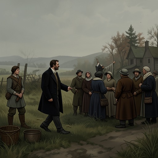
The mapping begins during the final day of harvesting. As villagers cut the barley down to stubble, Earle works with brushes and quills, recording the land at Charles Kent’s request. He shows interested villagers a board marked with geometric shapes for fields and woods, squares for cottages, and signs for ponds and lanes. The contrast is immediate: the villagers are reducing a crop by hand, while the visitor turns their surroundings into marks that can be inspected at a glance.
At the harvest feast, Charles Kent explains that Earle has been employed to map the common ground and land, and that the resulting work will support petitions to the courts. The charts are to be made on vellum from the skin of the veal served at the feast. This practical purpose gives the maps a direct connection to authority: they are not simply private pictures of the countryside, but part of a process through which property and its future may be formally arranged.
The first charts show the estate as it is, or as it can be organized into fields, woods, and settlements. A second chart presents a future landscape of smaller, edged fields, with much of the woodland reduced or gone. The villagers see not just a different pattern of color but a proposed transformation of their livelihood. Charles Kent’s plan is to close and engross the common land with walls, hedges, ditches, and gates, clearing trees and converting the settlement toward sheep raising. The chart makes that future visible before it is built, while its neatness risks making disruption look like a matter of lines and improvements.
Measured Space and Lived Knowledge
Earle’s maps cannot contain the experience that Walter brings to them. Local names are plain and practical: East Field, West Field, South Field, John Carr’s flax garth, the Higgses’ goose pen, Hazel Wood, the Turbary, and the Warren. They identify direction, family use, or what grows in a place. By contrast, the estate appears in official records as the Jordan Estate or the Property of Edmund Jordan. One vocabulary arises from everyday use; the other places the land within a framework of ownership.
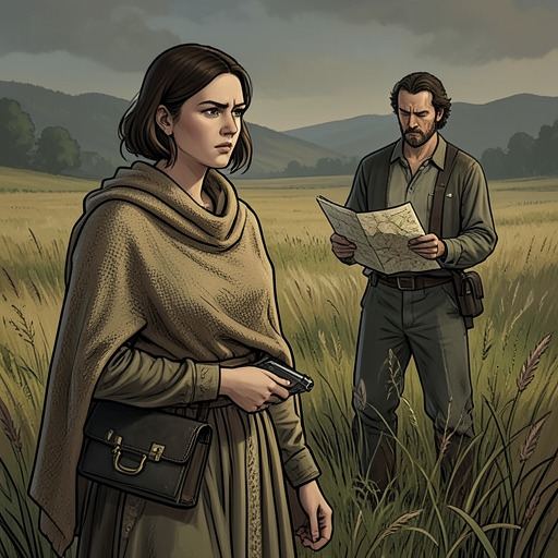
The difference is not merely a matter of labels. Walter knows how a route bends around a ridge, where a slope drains, and how a lane of thorns leads into a field. On Earle’s map, ground that takes time and effort to cross lies side by side, separated only by the width of a finger. From the fields themselves, the two areas cannot be seen together; the map supplies a view available only from above, like that of a bird. It therefore gives readers a useful overview while suppressing distance, labor, and the obstacles that shape movement on the ground.
Walter recognizes that the maps are incomplete without dismissing their appeal. Earle’s painted patterns seem to him at once artificial and compelling. The present-day chart removes shadows, shade, slopes, and changes of time; its colors flatten a landscape that Walter knows as uneven and demanding. Yet the image is beautiful, and it enables him to locate himself and interpret the relationship among places in a new way. The proposed sheep fields are even more visually patterned, but their tidier boundaries make the woods nearly disappear. The maps clarify arrangement while obscuring what the arrangement will cost.
Art, Evidence, and Suspicion
For Earle, drawing is not only surveying. His charts develop into colorful compositions of shapes and lines, which Walter compares with patterns found in bark, lichen, moss, and leaves. The painted designs exceed those natural patterns in vividness, especially in their blues, and possess an appeal independent of their usefulness to a landowner. Earle calls one drawing his true account of the land before the improvements planned by Young Edmund Jordan. But Walter’s admiration remains qualified: the chart can be beautiful without being an honest record of how a person experiences the place.
That distinction becomes dangerous when Earle’s work is interpreted by people already looking for evidence of wrongdoing. During the inquiry into suspected sorcery, the charts in his room are treated as suspicious because they are unusually colorful, lack the labels or keys expected of practical maps, and seem like painted incantations. His plant book, powders, paints, and drawing materials are read together as signs of menace. The same images that Walter understands as art and a new way of seeing land become incriminating objects in a hostile interpretation. Cartography does not speak for itself; its meaning depends on who is looking and what authority they bring to the scene.
Maps After the Estate’s Destruction
The maps’ material fate follows the fate of the estate. After the manor burns, Walter recalls seeing the land from above in the manner of Earle’s paintings: a patchwork of patterns, beautiful but distant and no longer fully reachable. He understands that view as an estrangement from the real terrain, where time and distance matter. The maplike vision persists even as the landscape it represented is damaged.
At the village boundary, Walter reveals that he burned Earle’s two preparatory charts: one depicting the commons, fields, lanes, and the fabric of village life; the other proposing future pastures. He also burned them with the man who painted them. Yet Walter keeps the piece of calfskin vellum he had prepared himself, an unmarked sheet that could become anywhere. The contrast is decisive. Earle’s charts record and organize a particular estate, including a future designed for it by those with claims over the land; Walter’s blank vellum carries no imposed boundaries or labels. It does not restore what has been lost, but it leaves open the possibility of another account. The novel’s cartography thus ends not with a completed map but with an empty surface, set against a village and manor whose established forms have been destroyed.