Federal Emergency Evacuation Route
VinelandThe Federal Emergency Evacuation Route is a little-known corridor along the ridge of the Coast Range, designed for a mass evacuation but used to hide the movement of people into government custody. Its transformation from contingency highway to secret transport route makes it a crucial link between public emergency planning and the covert detention system revealed after the university raid.
Design and Setting
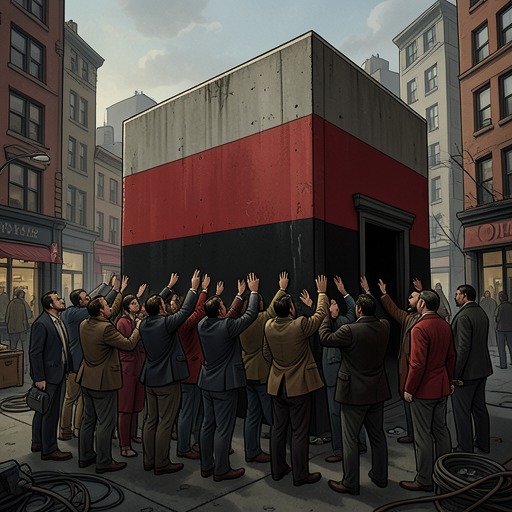
The route was conceived in the 1960s as an emergency highway that would be used at full capacity only once. It extended for hundreds of miles along the Coast Range ridge, concealed beneath camouflage netting and weather-resistant plastic tarpaulins. Its remote alignment and restricted visibility made it difficult for outsiders to know where it ran or what lay at its destination.
The name suggested a public safety function, but the route was little known and used mainly by people with access to classified information. It therefore occupied two kinds of space at once: an officially planned evacuation corridor and a hidden passage through the landscape, accessible to state operations but largely absent from ordinary maps and public knowledge.
Use After the University Raid
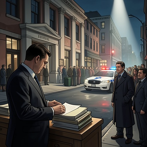
After a government operation at the university, a small convoy of unmarked, sealed gray trucks left through the rear entrance. The vehicles passed a checkpoint without stopping, took secondary roads, and joined the Federal Emergency Evacuation Route. The press gathered at the main entrance, focused on the visible aftermath of the raid, and did not notice the trucks leaving by the back way.
The convoy travelled north for many hours to a secluded valley. Its destination, the Security Services Reservation, had no clear description on the conflicting and imprecise maps later examined by those searching for the missing students. The route thus connected a public display of law enforcement to a destination whose geography and function were deliberately obscured.
Concealment and the Search
The route’s camouflage was not complete. People looking for Frenesi Gates heard that she had left with the convoy, and some tried to follow it but lost their way among secondary roads and prohibited turns. They also learned of gaps and tears in the netting that concealed the FEER. These fragments offered signs of passage, but not a reliable map of the route or its endpoint.
Maps showed an irregular blank region marked only as the Security Services Reservation. The reservation’s perimeter was estimated at one hundred miles, a scale that made a direct approach dangerous: defenders would have time to move a captive elsewhere if they saw rescuers coming. DL, Howie, and Sledge therefore faced not simply a difficult journey but an information barrier built into the landscape. The route and the blank on the map worked together to conceal where the students had been taken.
Emergency Planning and State Power
The valley at the end of the route had previously been used for Air Force experiments in dispersing fog and later designated as a reception area for as many as half a million evacuees. In practice, only a few dozen military-built dwellings had been constructed. Some were planned for families; others were barracks for individuals whose relatives were described as temporarily unaccounted for. The site included communal facilities, but its capacity and design also made it adaptable to mass confinement.
DL later describes the feared mass roundup as a system in which people could be confined and officially treated as less than human. She recalls that Nixon had prepared detention infrastructure and warns that Reagan could use it. Against that political background, the FEER is more than a hidden road: it is the connective infrastructure that allows a nominal evacuation plan to serve an undisclosed detention operation. Its name promises rescue, while its use carries people beyond public view.