Korean 38th parallel
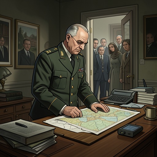
TrumanThe Korean 38th parallel began as a practical line on a map, not a boundary rooted in Korean history or geography. Chosen in the final week of World War II to divide the surrender of Japanese forces between Soviet and American troops, it became the axis of Korea’s postwar division and, during the Korean War, a shifting limit on military objectives. Its meaning changed with the fortunes of war: at different moments it marked a restraint, a target to cross, and a line near which the front eventually settled.
A hastily drawn division
In the last week of World War II, the Korean 38th parallel was selected as a temporary measure to facilitate the surrender of Japanese forces. Japanese troops north of it surrendered to the Soviets; those south of it surrendered to the Americans. The decision was made late one night at the Pentagon by Colonel Dean Rusk and another young Army officer, Charles Bonesteel. They chose the latitude partly because it already appeared on most maps of Korea. The line had no basis in Korean history or geography, and its initial administrative purpose did not resolve the larger political division of the peninsula.
The territories on either side were markedly different. The Republic of Korea, south of the line, was slightly larger than Indiana and had a population of 20 million—twice that of North Korea. Its economy was chiefly agricultural, while most Korean industry lay in the north. The parallel therefore separated not only zones of surrender but also populations and economic regions that the wartime division had placed under different authorities.
From administrative line to military limit
When North Korean forces advanced in 1950, the line became part of the immediate calculations of the United States and its allies. At an emergency meeting, Harry S. Truman authorized air and naval support for the Republic of Korea and sought United Nations backing. He also specified that no action should be taken north of the Korean 38th parallel yet. The qualification captured the boundary’s early wartime function: it was a limit on escalation while the scale and purpose of intervention remained unsettled.
The crisis soon pushed the fighting far south of it. From Seoul to Busan, the Republic of Korea’s largest port, the main road and rail route ran 275 miles. As North Korean forces pressed forward, those miles became critical to the struggle to hold the country. For nearly three months the central question was whether United Nations forces could survive in Korea at all. The line that had divided surrender zones was no longer the principal measure of the battlefield; the immediate contest was over whether the southern government and its forces could continue to resist.
The crossing and its risks
The landing at Inchon transformed the campaign. In eleven days Seoul was retaken, while the Eighth Army broke out of the Pusan Perimeter and advanced north. By October 1, United Nations forces had reached the Korean 38th parallel, and the Republic of Korea was back under United Nations control. The military reversal changed the question from survival to whether the war should cross the old dividing line and seek the destruction of the North Korean armed forces and regime.
On September 27, Harry S. Truman authorized Douglas MacArthur to cross the parallel, subject to conditions: there must be no sign of major Soviet or Chinese intervention in North Korea, and the fighting must not extend across North Korea’s borders with China or the Soviet Union. The authorization made the line a conditional threshold rather than an absolute frontier. It also carried substantial risks, particularly the possibility of Chinese intervention and the approach of winter. Warnings from Zhou Enlai that China would send troops if United Nations forces crossed were judged in Washington to be largely a bluff. After the United Nations recommended steps to establish stability throughout Korea, MacArthur sent the Eighth Army across near Kaesong on October 9.
Retreat, return, and significance
The advance north did not make the parallel irrelevant. After the Chinese offensive of November 28, the Eighth Army retreated nearly 300 miles, eventually reaching a point just below the line. United Nations forces withdrew through Seoul; millions of Korean refugees also took to the roads, and Seoul was again in flames. Under Matthew Ridgway, the Eighth Army recovered its fighting capacity and resumed its advance. By the end of March, after inflicting heavy casualties on Chinese forces, it had returned to the Korean 38th parallel.
The front’s return to the line underscored the gap between the initial hope of unifying Korea and the military limits of the campaign. The parallel had first been chosen for administrative convenience, without reference to the peninsula’s historical or geographical divisions. During the war it became a measure of restraint, the point from which a broader offensive was authorized, and a marker of retreat and renewed advance. Its recurrence gave a hastily selected latitude lasting force: a temporary surrender arrangement had become the defining boundary around which the war’s changing aims and fortunes were repeatedly negotiated.