Dardanelles
AfterburnThe Dardanelles is the narrow western gateway on the route between the Aegean Sea and the Black Sea, and a passage whose geography shapes the novel’s military crisis. Its shallows and confined waters complicate submarine movement; its position makes it essential to the passage and supply of the American battle group; and plans to secure it evoke the failed 1915 Gallipoli campaign. The strait is not merely a line on a map: it is a bottleneck where geography, logistics, and the political risks of intervention converge.
Definition and Strategic Geography
The Dardanelles, also called the Hellespont, links the Aegean Sea to the Sea of Marmara. Together with the Bosporus, it forms the water route between the Aegean and the Black Sea. The novel distinguishes the strait from the longer passage as a whole: Admiral Thomas Magruder describes the Dardanelles-Bosporus channel as about 300 kilometers, or 180 miles, from the Aegean end of the Hellespont to the Black Sea end of the Bosporus, with most of that distance lying in the Sea of Marmara. The Dardanelles is therefore the southern entrance to a larger and lengthy maritime corridor, not the entire corridor by itself.
The strait’s physical constraints are especially consequential beneath the surface. Treaty restrictions limit the number of submarines allowed through the Bosporus-Dardanelles waterway each year. In places, the Dardanelles is only meters deep: enough, narrowly, for a submerged submarine to hide, but with little room for error. That combination of shallow water and limited maneuvering space makes passage hazardous. It also means that the route’s strategic importance is inseparable from its physical vulnerability: a force moving through the straits cannot treat them as open ocean.
Passage, Supply, and Military Risk
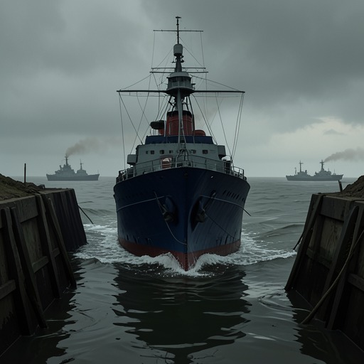
The Dardanelles becomes an immediate strategic threshold when a report from the submarine Krimsky Komsomolets announces that the American battle group is entering the strait. Dmitriev has expected the development, but the news still lands as a weary confirmation that the anticipated confrontation has arrived. The report makes the passage an event in the crisis: the battle group’s movement is not an abstract possibility but a visible advance through a narrow and politically charged route.
The U.S.S. Thomas Jefferson is also positioned in the novel at the Bosporus, the northern counterpart to the Dardanelles in the passage between the Mediterranean and the Black Sea. The two straits matter together because the battle group’s access and supply depend on this constrained waterway. In considering how to disable the carrier short of sinking it, a character identifies the Dardanelles and Bosporus as the two narrow points in the Jefferson’s supply line. The logic is blunt: rather than confront the carrier directly, an opponent might strike at the route on which its continued operation depends. The passage thus connects geography to endurance; control or obstruction of the straits could threaten the battle group through logistics as well as combat.
Plans to Secure the Straits
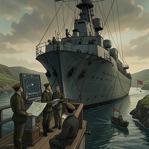
Later, proposals for an amphibious operation make the strait itself an objective. Admiral Scott suggests sending Marines to secure the full Dardanelles passage, from the Aegean to the Black Sea, and using Seabee units and SEALs to clear wreckage from the route. The scale of the proposed action is apparent in Magruder’s estimate of the full channel’s length: securing a narrow entrance would entail confronting a much broader corridor, most of it across the Sea of Marmara.
A more limited alternative is also discussed. If Greece and Bulgaria could be persuaded to cooperate, forces might conduct an air-mobile operation against the Black Sea end of the Bosporus, landing north of Istanbul. This proposal does not amount to securing the entire Dardanelles-Bosporus route; it would focus on the northern end of the larger passage. The contrast between the plans shows how geography sets the terms of military choice. A comprehensive operation would have to account for the channel’s length, while a narrower approach would depend on regional cooperation and concentrate on one end.
These proposals also unfold amid limits on what the United States is authorized to do. Earlier orders specify that American forces are not to involve themselves in the fighting between the Russian Red and Blue factions, and that Marines are to go ashore at Poti only. Later, U.S. forces in the Crimean Peacekeeping Operational Zone are placed under United Nations operational authority for the duration of the mission. The proposed seizure of the straits therefore belongs to a wider argument about objectives, command, and the boundaries of intervention. The waterway’s military value does not itself settle whether, or under whose authority, forces can act there.
Gallipoli and Historical Echo
The straits’ strategic meaning is sharpened by the novel’s reference to the 1915 Gallipoli campaign. In the historical plan recalled by the characters, British forces were to land on the Gallipoli Peninsula at the Aegean mouth of the Hellespont and seize the straits. The objective was to isolate Istanbul from the Asian portion of the Turkish-Ottoman Empire. Winston Churchill, then First Lord of the Admiralty, is identified with the idea.
The comparison gives the modern discussion a cautionary historical dimension without making the proposed operations identical. Both plans imagine that control of a passage can reshape access and constrain an opponent; both place a landing at the Aegean approach within a larger strategic design. But the novel’s contemporary crisis involves an American battle group, United Nations authority, and proposals ranging from a full amphibious seizure to a limited operation near the Bosporus. Gallipoli serves as a reminder that the geographic appeal of controlling the straits does not remove the scale or difficulty of the military undertaking.
Across these episodes, the Dardanelles functions simultaneously as a physical obstacle, a supply-route vulnerability, and a possible military objective. The narrow, shallow water complicates passage; the connected straits expose the battle group’s logistics to pressure; and the history of Gallipoli shadows contemporary plans to control the corridor. Its significance lies in how a confined stretch of water can draw together naval movement, operational limits, and the consequences of intervention.